| | Author | Topic: Kennon Road and Marcos Hiway up BAGUIO 3d ELEVATION GRAPHICS (Read 3 times) |
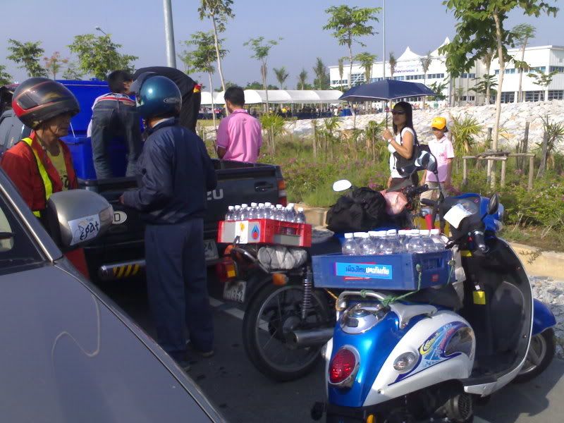
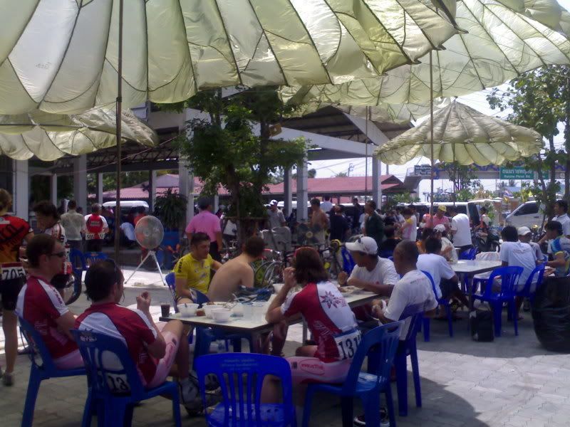
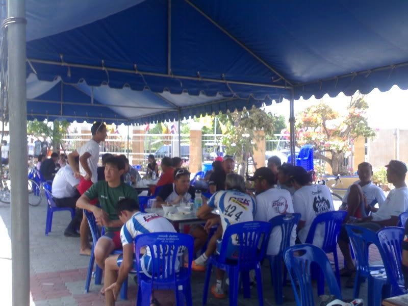
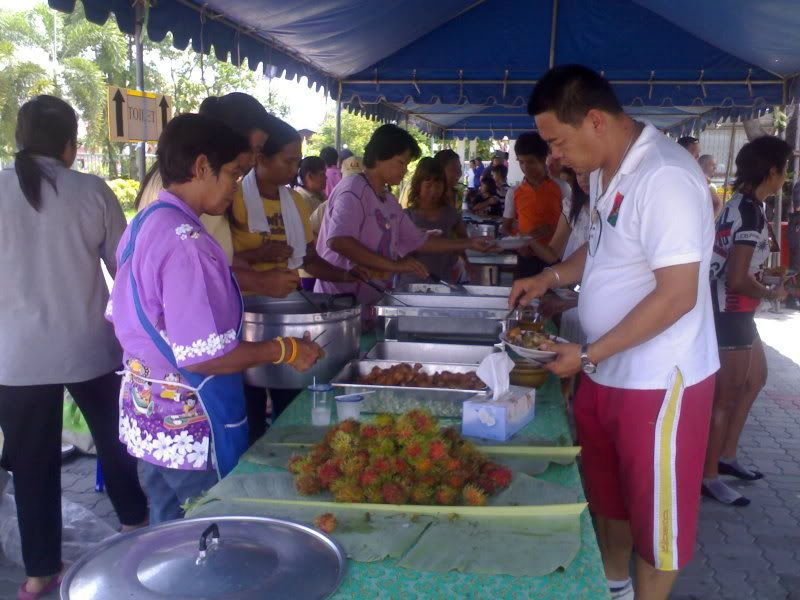
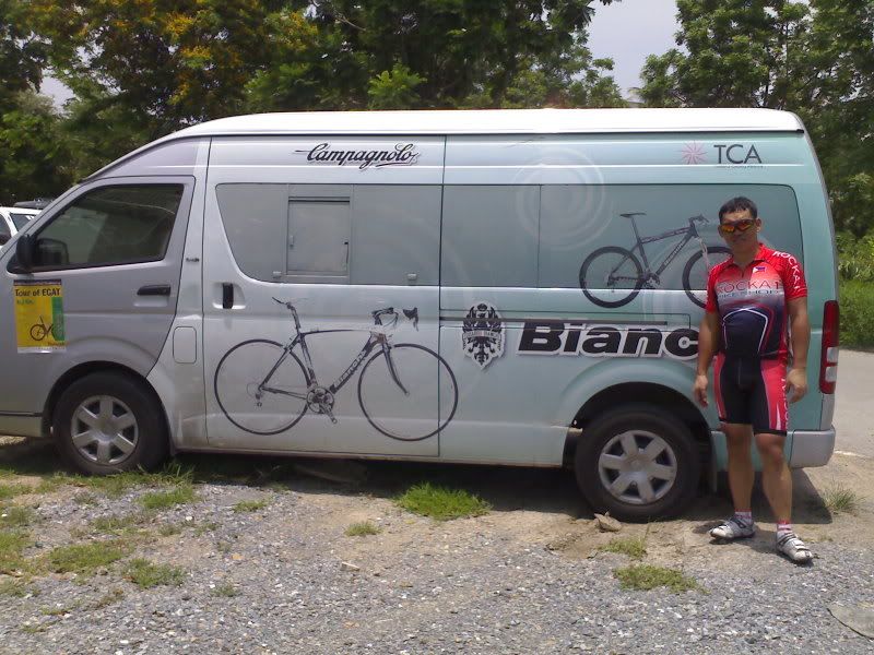
dear friends, here it is the 3 dimensional elevation map of BAguio via kennon and Marcos hiway. Graphics courtesy of Thomas Wiegand Thanks so much Thomas!  raymond see kennon road start at the SHELL petrol station near soul cafe rosario town and finish at MILITARY CUT OFF ROAD DPS COMPOUND PARK on August 30, 2008. This fun ride organized by raymond see and filchi cycling ..with help from Doctor Butch Ydia and team Pangasinan Dagupan, Teamrocka1bikeshop Bicol and guest rider Thomas Wiegand the computer expert mapped the fun ride via his computer software and GPS (global positioning satelite ) tracker  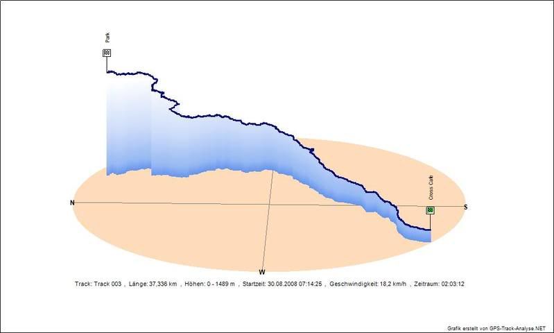 Marcos hiway start at the Eagle of Agoo up Marcos Hiway stopping officially at the JOLLIBEE HOLLYWOOD SIGN..then proceed to the finish line at PETRON STATION in front of Green Valley. Fun ride organized by raymond see August 31,2008 with support of Filchicycling MJY Bikezone, Doctor Butch Ydia and team Pangasinan dagupan and the foreign cyclist Thomas Wiegand from Germany who used to work for the German Military ski patrol unit German Army man now the computer wizard.. Thomas was the one who made the GPS tracking Graphics. Thanks thomas! 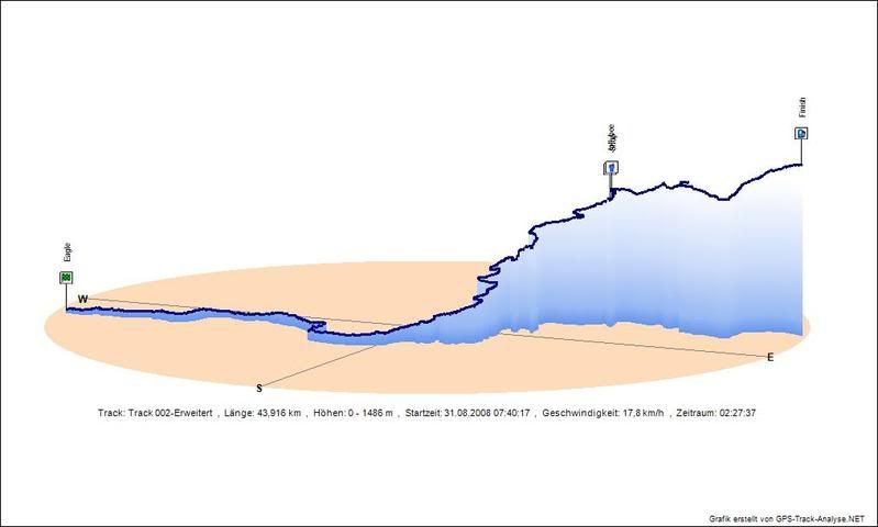 |


 Quote
Quote Modify
 Remove
 Split Topic
